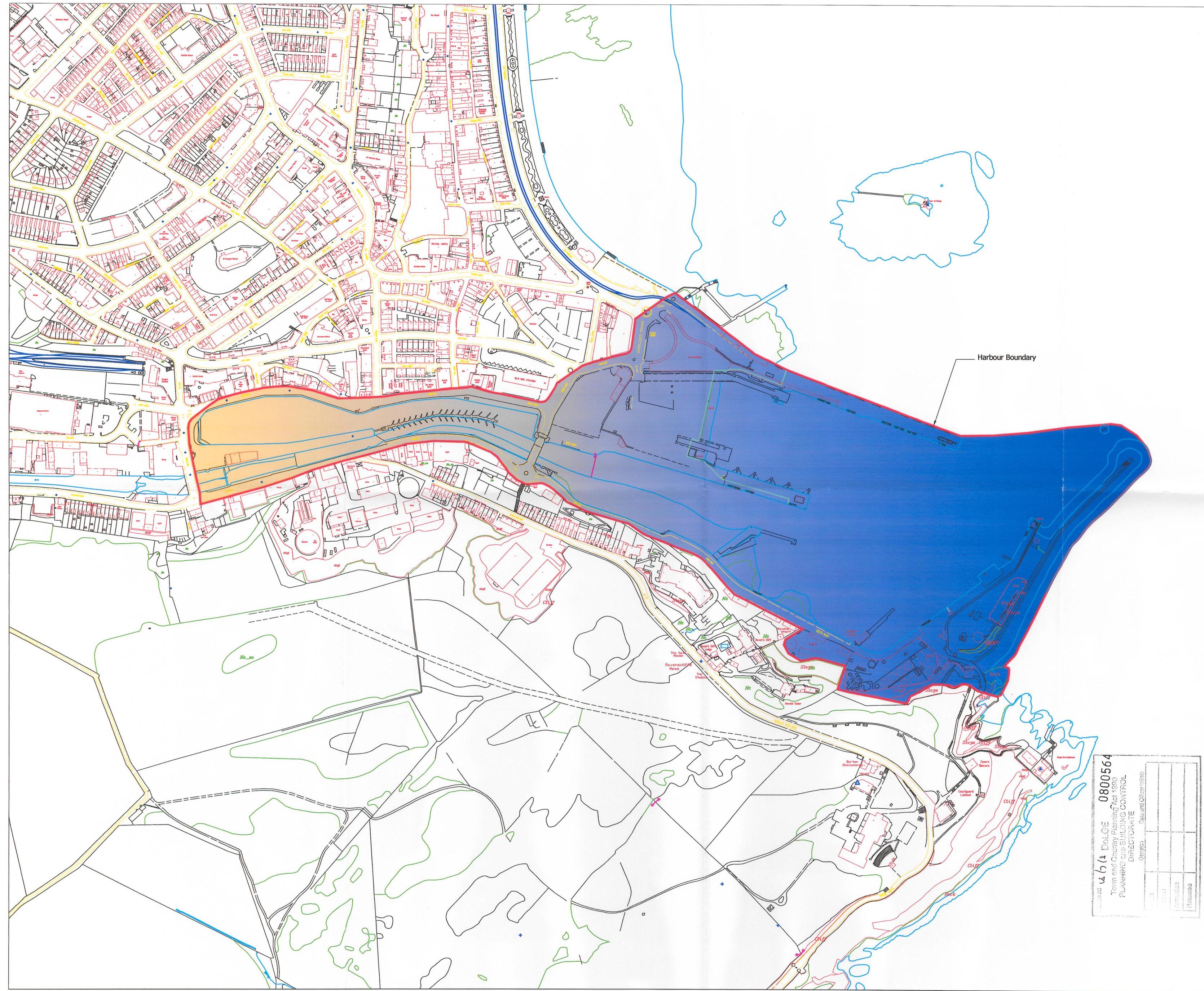
This image displays a site plan overlaying an Ordnance Survey map, highlighting the proposed cruise tender pontoon berth area in blue and the passenger holding area in orange along the harbour boundary.
Copyright in submitted documents remains with their authors. Request removal
Source & Provenance
Official reference
08/00564/B
Source authority
Isle of Man Government Planning & Building Control