Loading document...
For the purpose of this application, the East Quay regeneration scheme runs from the pumping station on Peel Promenade, along the whole length of East Quay to Peel Harbour Bridge. The landward side comprises of a mixture of apartments, restaurants, public houses, museums, and small businesses. The harbour is divided into two distinct sections: from Weatherglass Corner to
Station Place it is still a working harbour used by larger commercial craft moored against the harbour Wall; the section from Station Place to Peel Harbour Bridge is mainly used by smaller leisure craft.
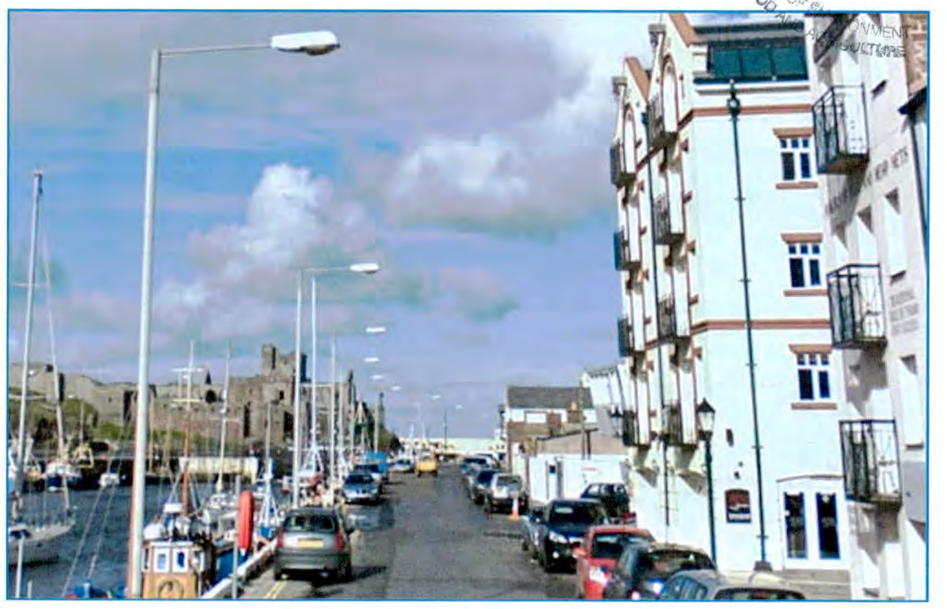
East Quay is still a working harbour within a 30 mph speed limit. It is a designated HGV route and it forms a major part of the traffic network around Peel. The road is two-way from Station Place to Shore Road (the promenade). There is parking on the landward side and there are double yellow lines on the harbour-side. The section from Station Place past the House of Mannanan up to the entrance into the boat yard is a one-way single carriageway and is subject to a 17.5 T weight limit. Outside the House of Mannanan there is a parking bay for 3 vehicles, and a wide footway on Manx National Heritage land. The short section of road from the boat yard to Peel Harbour Bridge reverts to two-way traffic. There is a slipway into the harbour, and access into the boat-parks and the marina.
East Quay was mainly constructed using concrete slabs, overlaid with bitmac/asphalt. There are numerous service trench reinstatements, and a considerable amount of patching and repairs have taken place. In some places the concrete slabs have settled and become displaced, and the joints between the slabs are showing up on the surface as reflective cracking. There are permanent access ladders, and concrete steps down to the water edge, and the quay edge is topped with a low walling. There is no footway along the edge of the harbour. Leisure craft are moored on floating marina pontoons in the middle of the harbour and accessed from the top end of the harbour.
The pedestrian facilities comprise of a concrete footway on the landward side of the highway from Weatherglass Corner to Station Place. In some areas the footway is just 800 mm wide which falls well below the desirable minimum width. The layout in Station Place is very confusing and poor. Outside The Creek the footway is not properly defined. The crossing points are confusing and unsafe as there is a lack of tactile paving and dropped kerbs. Some crossing points lead pedestrians into the carriageway so there is a need to address these problems. On the section from Station Place to Peel Harbour Bridge there is a raised concrete footway alongside the harbour and railings at the harbour edge.
Currently there is on-street parking along the entire length of the landward side of East Quay as far as The Creek. However the parked vehicles detract from the vista across the harbour outside the bars and restaurants. It would be unpopular and impractical to remove all the parking but in order to improve the pedestrian facilities it will be necessary to displace and reduce the number of parking spaces.
Station Place is a busy area during the summer months with many visitors sitting outside The Creek and the House of Mannanan. The existing road layout, parking, pedestrian facilities and crossing points are confusing and poorly laid out. It looks tired and shabby and needs to be given a complete revamp to give it more prominence and to make it more pedestrian friendly. This area of East Quay has been identified as being the most susceptible to flooding particularly when there is a combination of high tides, and inshore winds coinciding.
The Manx Utility Authority are currently laying two large diameter ( 350 mm and 250 mm ) sewer pipes from their promenade pumping station, along East Quay past the House of Mannanan to Mill Road and then out towards Glenfaba Bridge. The pipes will be laid side by side in an excavated open trench which will vary from 2 m to 5 m deep along the centre of the carriageway. The trench, pipes, plant and equipment will take up most of the width of the carriageway during construction. The MUA anticipate that the works will be completed in March 2021. The trench will be temporarily reinstated to a suitable standard for the summer period and the intention is that the Department of Infrastructure would undertake the resurfacing works from September2021 to April 2022.
The area around East Quay is very popular with visitors so it is important to create the correct sense of place whilst recognising that it is still a working and historic fishing harbour.
The proposal is to reconstruct the carriageway in bitmac to provide a smooth running surface for vehicles, and to widen and improve the pedestrian facilities so as to promote increased footfall, business growth and regeneration. Traffic along East Quay is to remain two-way and will be subject to a 20 mph speed limit. The current arrangement of the 1 metre wide harbour edge strip alongside the quay edge will be maintained, reflecting the working nature of the quayside edge. It would not be practical or popular to completely remove all parked vehicles from the quay, so additional parking spaces will be provided outside the House of Mannanan. The introduction of additional car parking alongside the House of Manannan provides the opportunity to relocate disabled car parking to a more convenient location; provides for a loading bay, and allows the existing damaged stone paving to be replaced. The existing access from East Quay to the House of Manannan car park is to be closed off with the agreement of Manx National Heritage who saw this used as a rat run to avoid the existing traffic signals on Mill Road. This rearrangement will also allow additional car parking spaces within the House of Manannan car park.
The footway on the landward side of East Quay will be finished using natural stone materials so as to provide a wider, more accommodating and aesthetically pleasing walkway. Natural sandstone has been selected to complement the colouring of the Peel red sandstone which is used in existing walling in the area. The outcome should complement the sandstone buildings on East Quay and Station Place. The area around Station Place will be made more welcoming for visitors with the removal of parking outside The Creek; better pedestrian crossing points; a defined footway, and a less confusing layout for motorists.
The scheme will also include the construction of a flood defence wall along the quay edge from the Boatyard to the vicinity of Station Place. This wall is designed to accommodate a 1 in 200 year still water tidal event. The flood wall design follows the recommendations of the JBA Consulting report, 'Isle of Man Flooding and Wave Overtopping Study, Concept Design Report, December 2014' commissioned by the Department of Infrastructure. The wall will be approximately 900 mm high and finished at either end so that it would tie-in with the future extension flood defences. At the present time there are no plans to extend the flood defence wall the full length of East Quay to the Promenade. The Flood wall will have a minimum impact on the traffic movements and it will be clad with natural stone alongside the House of Manannan so that it will enhance the aesthetics of the area, and not spoil the vista. The flood defence wall in the vicinity of the Boatyard will be constructed in fair face concrete to and detailed to match the existing concrete walls in this part of the Harbour. The wall will be designed to be increased in height should future flood studies recommend such an increase.
The overall works will include the replacement and upgrading of the public utility services, replacement of street and harbour lighting and improved highway drainage. The street lighting will be double headed to provide illumination to the highway as well as the harbour edge for reasons of safety. The final design of the lighting columns and heads will follow a pattern determined by Peel Town Commissioners to compliment wider plans for street furniture in Peel. There will also be provision for electric car charging points, and power and water outlets for harbour/boat users.
The section of East Quay for which this application applies is shown outlined in Red on the Planning Drawing. The area has been identified as being within the Conservation Area so planning approval is required.
Copyright in submitted documents remains with their authors. Request removal