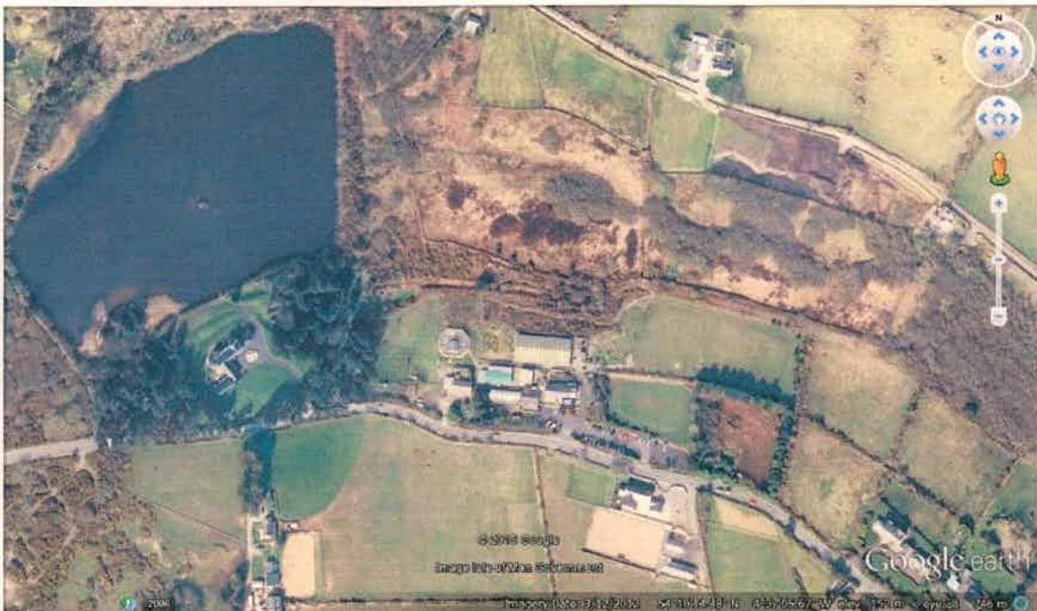
Aerial view of existing MSPCA site in relation to surrounding properties
Aerial satellite view showing a rural site with a large lake, fields, and existing buildings.
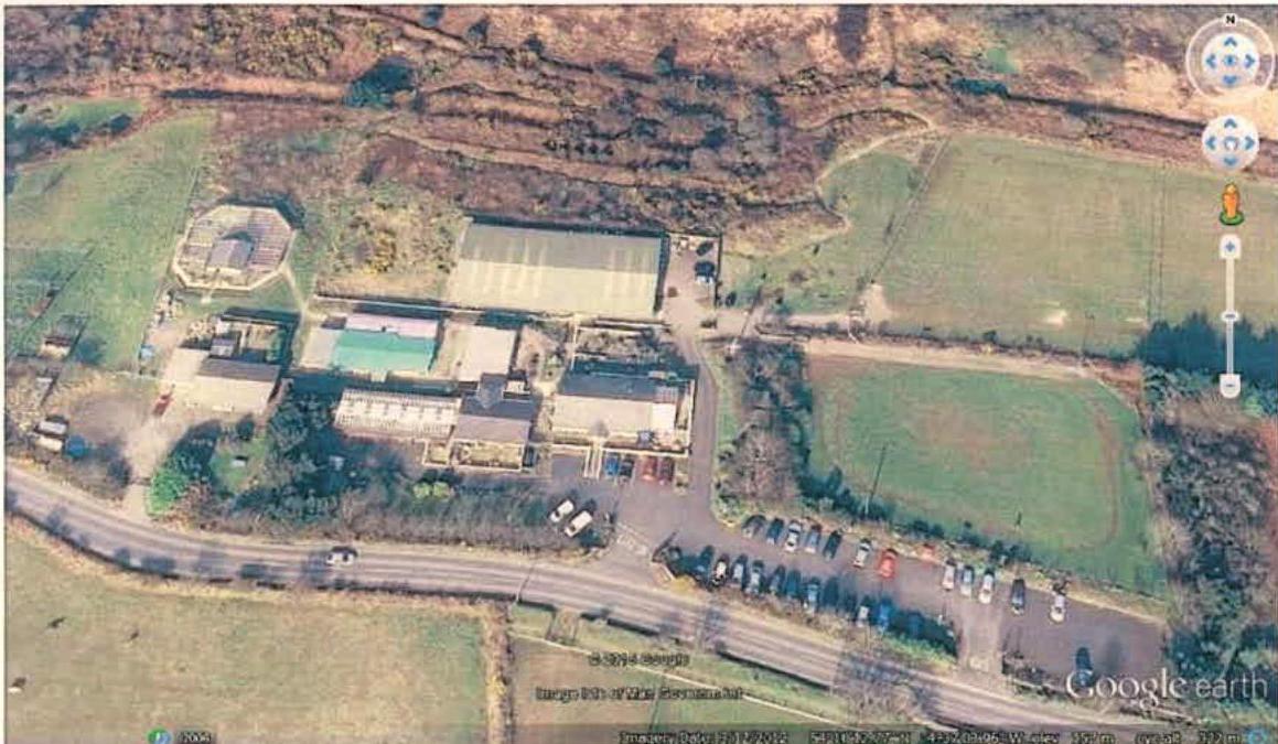
Aerial view of existing MSPCA holding taken in 2006 (Dog Training building yet to be constructed next to Dog Kennels)
Google Earth aerial screenshot showing a rural site with a large building complex, parking lot, and surrounding fields.
Site viewed from Public Carpark
A photograph showing a white building with a large glass conservatory-style extension on the left, situated next to a driveway with parked vehicles in a rural setting.
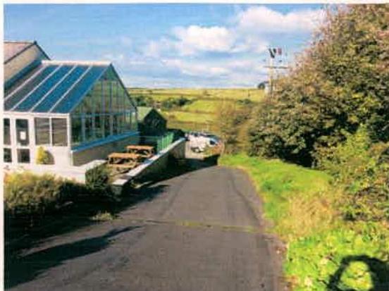
Site viewed from MSPCA Café
A photograph of a rural site featuring a large building with a green roof on the left and a driveway with parked vehicles.
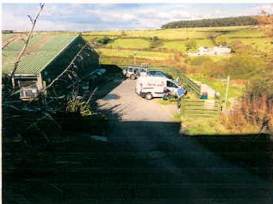
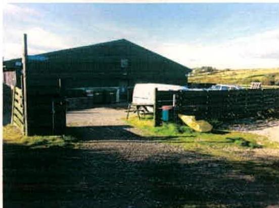
Site viewed from animal exercise area
A photograph showing a large, dark agricultural building, likely a barn, situated in a rural setting with a wooden gate and fence in the foreground.
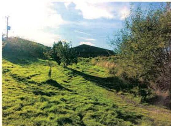
Site viewed from natural trail
A photograph showing a grassy, sloping field with trees and vegetation, likely representing the site location for the proposed dog facilities.
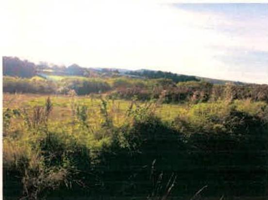
Site viewed from Lhoobs Road
A photograph showing a grassy field with vegetation and trees in the background, likely depicting the rural site location.
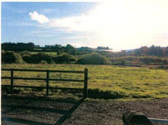
Site viewed from Lhoobs road, adjacent the residential property of Mount Pleasant
A photograph showing a rural grassy field with a wooden fence in the foreground and a coastline visible in the distance.
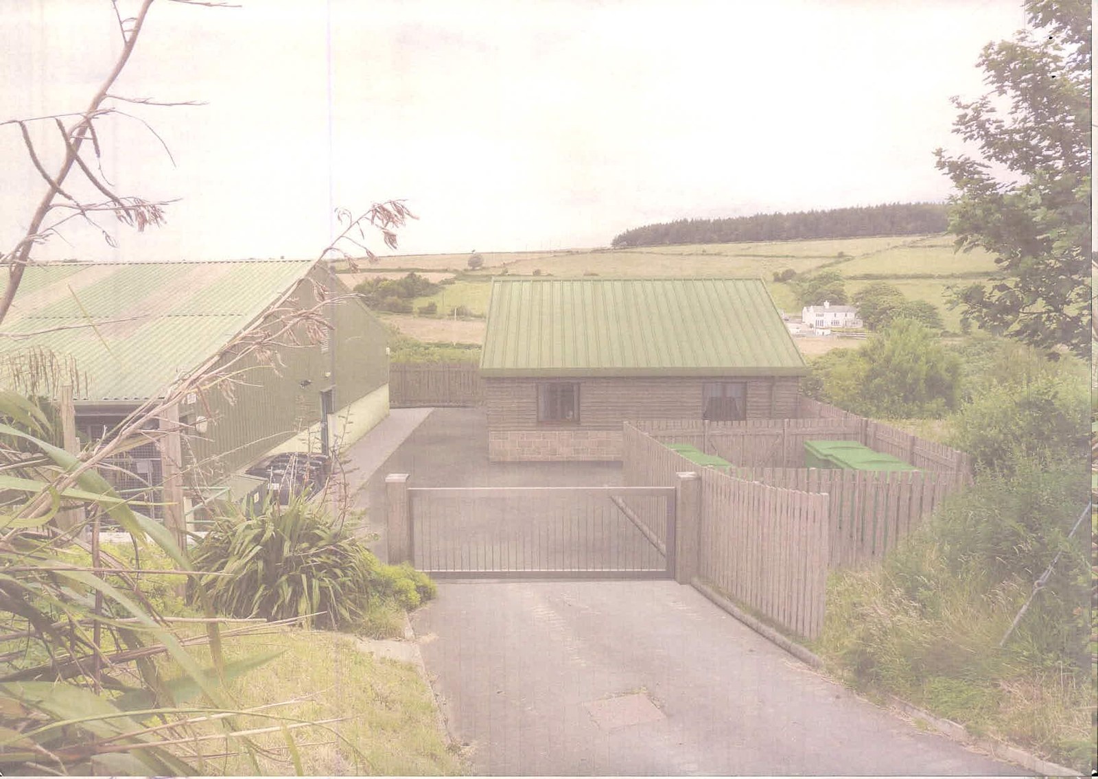
APPENDIX B ## PHOTOMONTAGE OF PROPOSED BUILDING
.
A photograph showing a rural property featuring a large agricultural barn and a smaller single-storey building with a green roof. A paved driveway leads to a metal gate and fenced enclosures in the foreground.
Copyright in submitted documents remains with their authors. Request removal
Source & Provenance
Official reference
15/01185/B
Source authority
Isle of Man Government Planning & Building Control