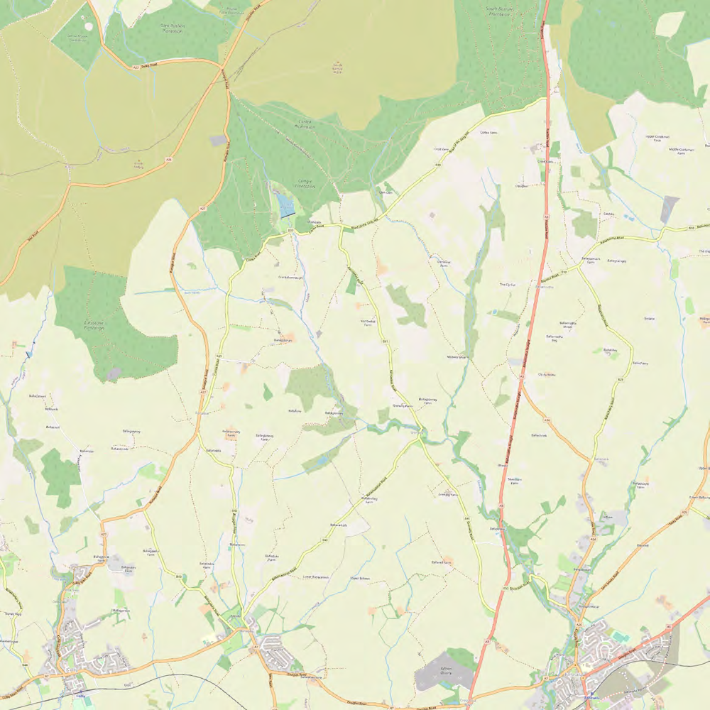
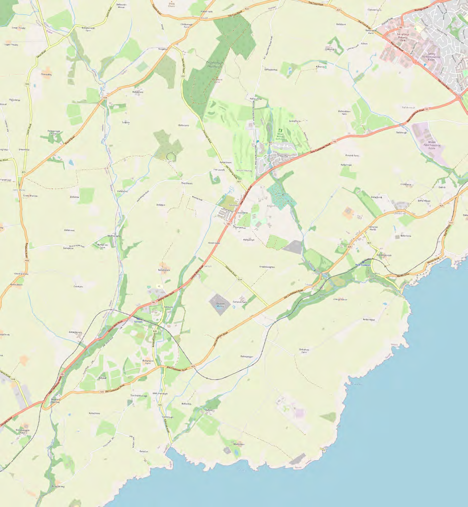
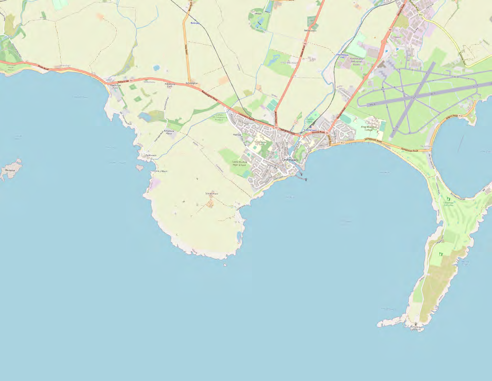
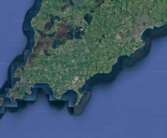
A topographical map showing the rural location of the proposed development site in the parish of Malew, Isle of Man, displaying surrounding roads and fields.A topographical map showing a coastal area with roads, fields, and settlements, likely serving as a location plan for the application.A topographical map showing a coastal site location with nearby roads, fields, and an airport runway.A digital map view showing a coastline in the top left corner and a large body of water. A faint dotted line runs diagonally across the water surface.An aerial satellite view showing a green, rural coastal landscape with fields and water bodies.
Copyright in submitted documents remains with their authors. Request removal
Source & Provenance
Official reference
23/01364/B
Source authority
Isle of Man Government Planning & Building Control