Additional information for the temporary change of use for camping on Blackberry Lane, Onchan
The fields on BlackBerry Lane are designated open space for the purposes of playing fields, sport and recreation, which are used throughout the year. Camping has been on the fields for the last couple of years and this planning application looks to regularise the position. The income from the camping will help support grass roots football for around 200 junior players.
There have been a number of sports clubs on the Isle of Man that have sought approval for temporary camping use. To name a few; Douglas Rugby club, Corinthians Football Club, Union Mills Football Club, Castletown Football Club, Foxdale Football Club, Peel Football Club, Rushen Football Club, Laxey football Club, St Georges Football Club, Braddan Football Club. They all operate temporary camping and this application seeks to do the same.
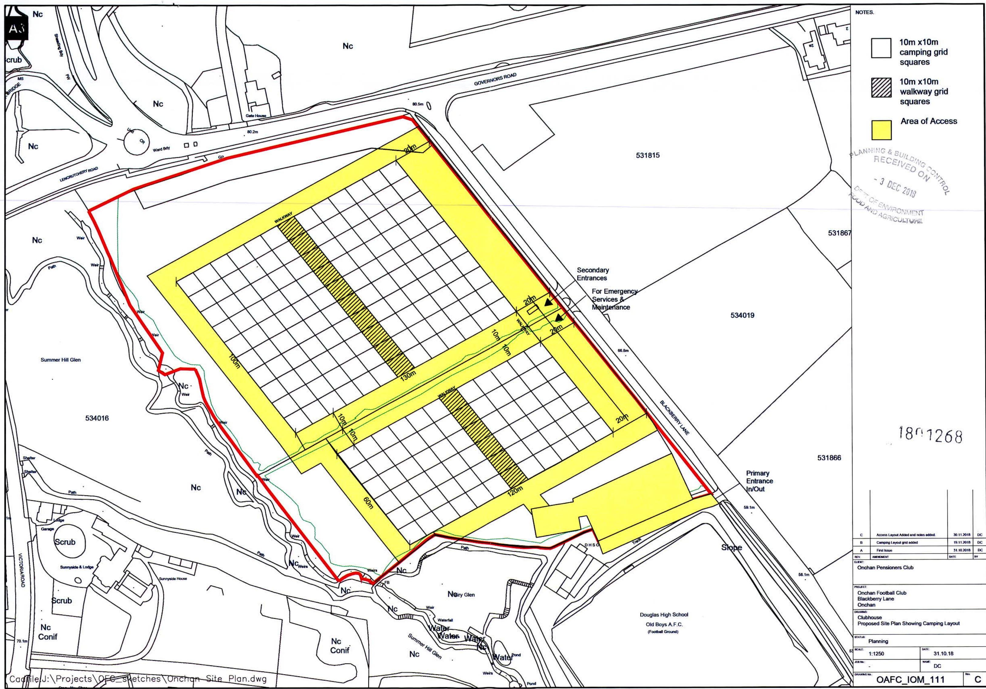
The application is seeking permission for 120 pitches in the top field and 66 pitches in the lower field. You should also note that each camping plot is $10 \mathrm{~m} \times 10 \mathrm{~m}$ giving more than enough space for the individual tent and adequate space on the curtilage. These pitches can be seen on the enclosed plan.
On the plan it shows a primary in and out entrance into the car park. The car park has been in place for 3 years and has proved more than adequate for the last couple of years. It also shows two secondary entrances for emergency services and maintenance of the proposed camp sites. There is a central 10 metre walk way through both camp sites, which is wide enough for emergency vehicles together with a 20 metre buffer around the site.
We are also in consultation with Fire Department, Environmental Health, the Tourism Department \& the local MHK, who have all been very supportive of this site as temporary camping for TT and Manx GP.
Our neighbour is Douglas High School Old Boys and we also have their full support for this application. There are no other neighbours in the vicinity.
DJ Quirk Opsc
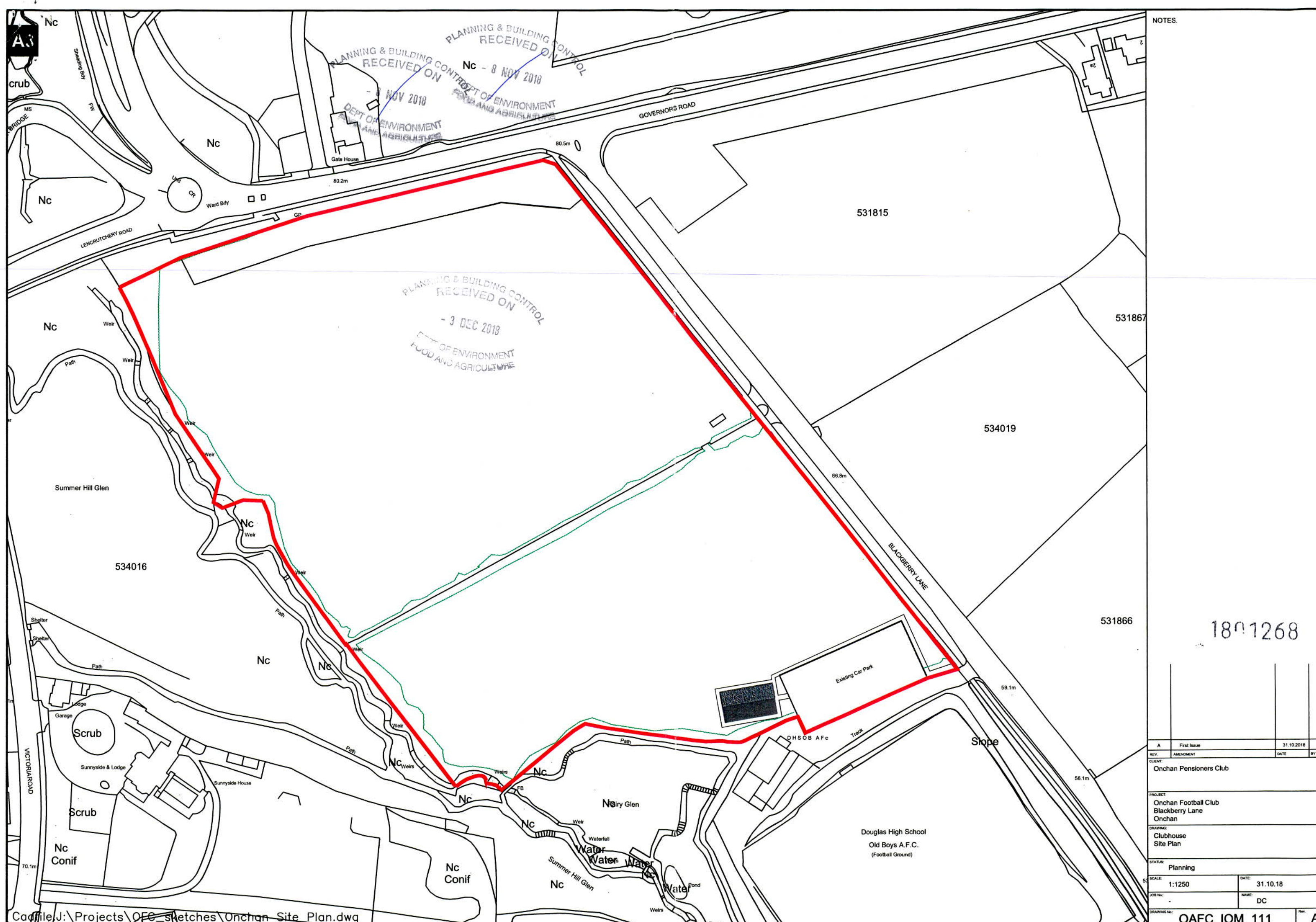
A black and white site plan showing the application area outlined in red, located near Governor's Road and Blackberry Lane.
NOTES: 10m x10m camping grid squares 10m x10m walkway grid squares Area of Access
1801268
This is a technical site plan showing a proposed camping layout with a grid system for squares and walkways. It highlights access points, boundaries, and surrounding features like roads and nearby buildings.
Copyright in submitted documents remains with their authors. Request removal
Source & Provenance
Official reference
18/01268/C
Source authority
Isle of Man Government Planning & Building Control